Bad weather wave ‘Elpis’ to bring extreme cold and snow from Saturday

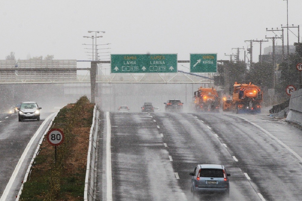
File photo: Many areas will have snow at even low altitudes, starting in Macedonia-Thrace on Saturday and gradually moving across Thessaly, eastern Central Greece and Evia and then spreading throughout the Aegean. ΑΝΑ – ΜRA/BOUGIOTIS EVANGELOS
ΣΧΕΤΙΚΑ ΑΡΘΡΑ

Icy temperatures, gale-force winds and heavy snow are expected in Greece from the weekend as a result of a wave of bad weather named “Elpis” by the national meteorological service EMY.
The first such system is expected on Saturday, followed by a second, more severe system on Monday.
Temperatures will drop on Saturday and then plunge even lower between Monday and Wednesday, when the maximum temperature will not exceed 2-3C, while central and northern parts of the country, especially, will experience a powerful freeze.
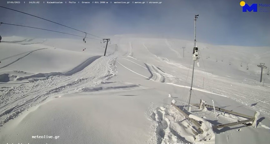
Many areas will have snow at even low altitudes, starting in Macedonia-Thrace on Saturday and gradually moving across Thessaly, eastern Central Greece and Evia and then spreading throughout the Aegean.
The snow is forecast to abate slightly on Sunday on mainland Greece but continue in Evia and the Aegean, with dense snowfall at times.
Snowfall will intensify in the Aegean and parts of eastern mainland Greece on Monday, spreading south as far as Crete and the Dodecanese islands. The phenomena will abate in the north of the country next Tuesday but heavy snowfall will continue in other areas.
The phenomena on Monday and Tuesday will be made more intense by strong winds of up to 8-9 Beaufort in the Aegean and eastern Greece.
Source: ANA – MPA
FM Dendias on one year from the extension of Greece’s territorial waters in the Ionian Sea
Ακολουθήστε τη HELLAS JOURNAL στη NEWS GOOGLE