English Section
#Tags:
wildfires46%EviaOver 46,000 hectares burnt by wildfires in Evia, National Observatory says

The figure was reached after analysing 4 different high-resolutuon images from the European satellite Sentinel-2 on August 11. photo via amna_news
ΣΧΕΤΙΚΑ ΑΡΘΡΑ

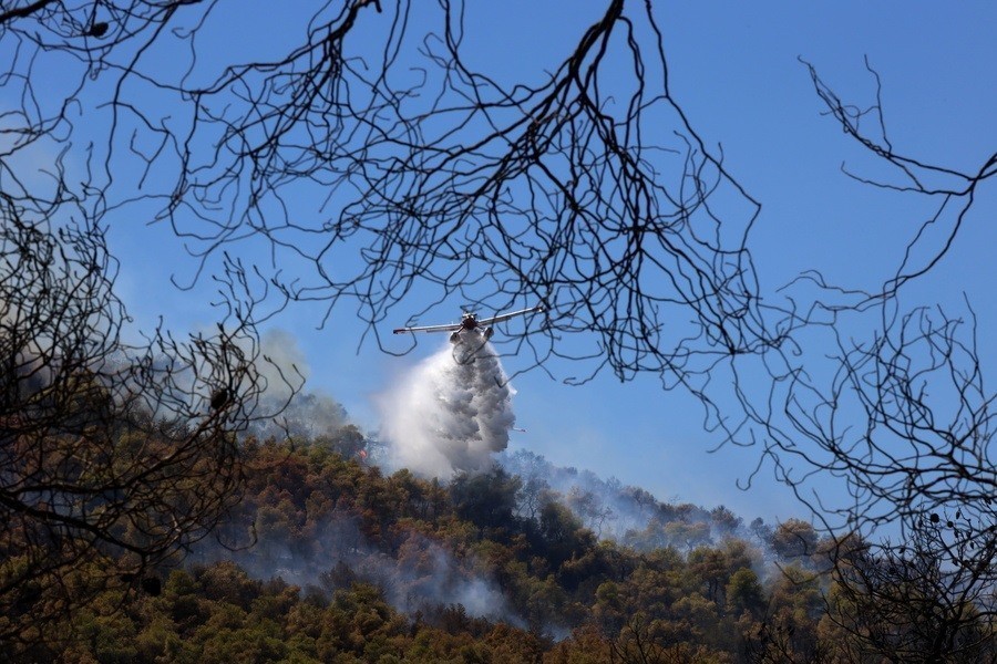
The surface area of land burnt during the wildfires starting on August 3 on the island of Evia is approximately 465,820 stremmas (46,582 hectares), the National Observatory of Athens’ center ‘Beyond’ said on Thursday.
The figure was reached after analysing 4 different high-resolutuon images from the European satellite Sentinel-2 on August 11, it said.
Beyond was also able to detect the different types of burnt land:
– 197,700 stremmas (19,770 hectares) of forestland
– 99,600 stremmas (9,960 ha) of low brush land
– 90,650 stremmas (9,065 ha) of farmland
– 77,720 stremmas (7,772 ha) of grassland
– 4,350 stremmas (435 ha) of green zones used for leisure activities
– 800 stremmas (80 ha) of sparse vegetation
Source: ANA – MPA
Follow Hellas Journal at News Google
Stephen Miller, archaeologist associated with site of Nemea, dies